
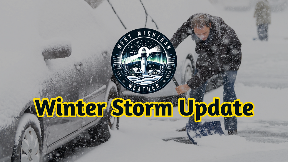
Significant Winter Storm Today!
- Jonah Drake (Owner & Co-Founder)

- Jan 12, 2024
- 3 min read
Bottom line: Very Dangerous Travel Conditions Today!

Winter Storm Warning goes into effect at 10:00am EST for our entire coverage area.


Simply put, this is going to be a very impactful system with widespread difficult travel, impressive snow accumulations, and power outages possible. Travel should be avoided if at all possible.
Computer weather models remain largely unchanged and we're seeing the continued likelihood of all the things mentioned in the Winter Storm Warning, including the potential for blizzard-like conditions. With that in mind, make sure you have a way to receive weather alerts today.
Doppler radar shows this system moving into our region this morning. Snow will remain hampered a bit this morning by the dry air mass. By about 10:00 or 11:00am this will quickly change as widespread heavy snow moves into the area. Travel conditions will quickly deteriorate after that as strong gusty winds, and intense heavy/wet snow with snowfall rates possibly approaching 2 inches per hour at times, quickly add impressive snow accumulations to road surfaces. By this evening the winds really ramp up and we will likely see power outages become scattered to perhaps widespread as those winds combined with sticky-natured snow bring down tree limbs and power lines.

KGRR doppler radar as of 07:34am EST
Our School Closing Outlook that was issued yesterday afternoon was verified very well with 90% of schools being closed for today and a couple with scheduled early releases.

Follow WMIWX on Social Media today for live updates. Twitter is the best place to get updates from us!
Previous Discussion: Issued at 8:39pm EST Thursday 01/11/2024
8:00pm EST Thursday Update:
The primary focus for this update is to address three things:
The issuance of Winter Storm Warnings for our entire coverage area by our friends at the NWS Weather Forecast Offices in both Grand Rapid and in Northern Indiana.
The increasing concerns for power outages and the after-effects those may have.
Increasing confidence for more prolonged/widespread blizzard-like conditions.
First and foremost we want to highlight the issuance of Winter Storm Warnings for all of our coverage area. Text products with the average/mean hazards for the entire area are below. Please check with your local NWS Office via www.weather.gov for specific information on your location.
Widespread heavy snow with accumulations of 6-14 inches
Winds gusting as high as 50mph
Gusty winds may bring down tree limbs and/or power lines resulting in scattered power outages.
Blowing snow will significantly reduce visibility
Travel will become very difficult to impossible
Near-blizzard conditions are possible
The next thing that needs to be discussed, seriously, is the growing concern for power outages. Since the issuance of the Warnings this afternoon some weather computer models have shown increased potential for stronger wind gusts, perhaps as high as 55mph. We saw scattered power outages across the region from heavy snow and gusty winds during the system on Tuesday. These winds, which are, at least, twice as strong as what we saw Tuesday combined with the very impressive forecasted wet/heavy snow accumulations will give the potential for a much more widespread and more prolonged period of power outages across the region. What is more so the problem, is the forecasted conditions after this system moves through. We will have very little, if any, recovery time before additional hazardous conditions in the form of heavy lake-effect snow, continued gusty/strong winds, and bitterly cold arctic air and associated very cold, perhaps, sub-zero wind chills move in which will dampen efforts to clear roads, restore power, and return to normal. This is not something to be taken lightly and the bottom line is that residents need to be prepared for the possibility of prolonged power outages in a very cold weather pattern. Here is a helpful graphic from our friends at NWS Grand Rapids regarding winter power outages.
The final thing of note is once again the increasing wind potential on the computer weather models, as aforementioned. Aside from power outages and tree damage, the other effect these stronger winds will likely have is the increase in longevity of blizzard-like conditions. If confidence continues to increase in this regard we will likely see the issuance of Blizzard Warning (BZW) products for certain areas in our coverage area. Regardless of if Blizzard Warnings are issued, we want to highlight the risk of significant impacts to travel due to extremely reduced visibility and whiteout conditions. Travel is not advised if at all possible from late Friday afternoon through the day on Saturday.
Stay tuned for updates from West Michigan Weather! Follow us on Social Media for live updates on conditions and "Snow Chasing" Operations! We'll provide our next update tomorrow morning.


Comments